Fishing Spots: Fish Maps
FishAngler, LLC
Downloads
1,000,000+
Source
Google Play
Advertisement
Click to download now, finish the installation quickly, and directly unlock the all-round experience
Advertisement
Screenshots
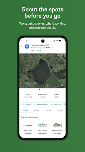
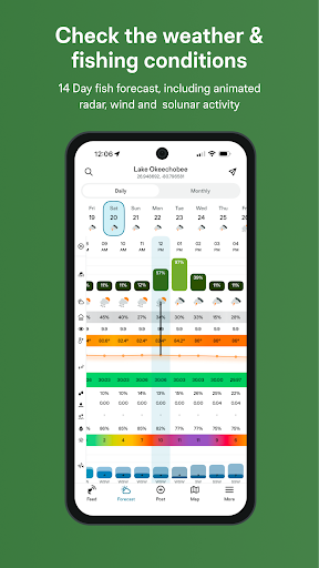
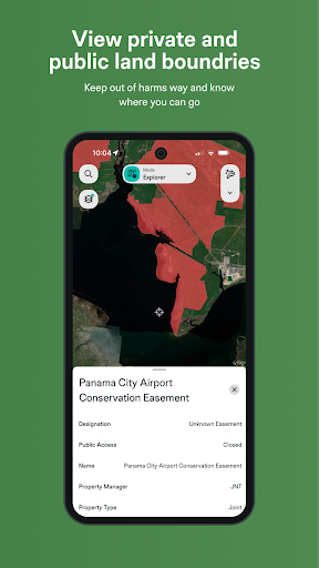
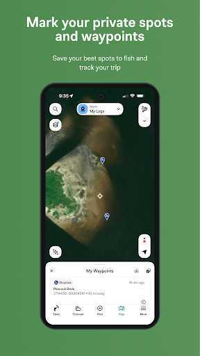
Click to download now, finish the installation quickly, and directly unlock the all-round experience
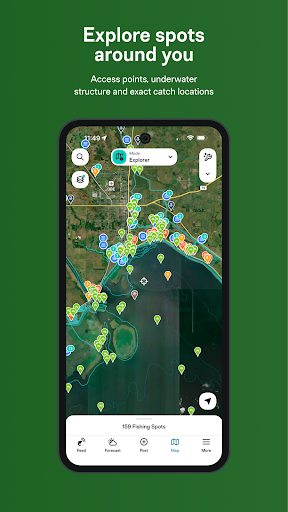
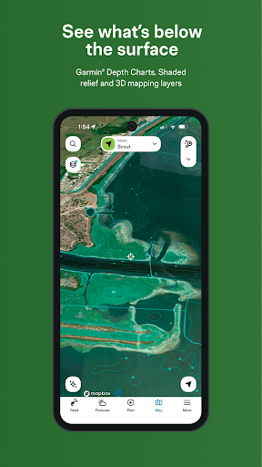
Fishing Spots: Fish Maps is a fishing-planning app for anglers who want to explore nearby waters and check conditions before heading out. Its maps cover lakes, rivers and coastal areas, with options including depth and contour information, satellite views, nautical charts, boat ramps and access points. Map detail and available information may vary by location.
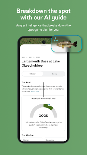
The app also brings together fishing forecasts and condition reports. Anglers can check tides, moon phases and solunar times, alongside weather details such as wind, air pressure and water temperature. River flow and gauge information are included, as is animated weather radar.
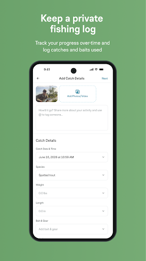
Fishing Spots includes tools to log trips and catches, review catch history and save waypoints. It also offers fish identification and catch reports shared by other anglers. These features may suit people who want a single app for planning, recording outings and browsing local fishing information, rather than a map alone.
Forecasts and community reports are useful inputs, not promises of a catch. Conditions change, and reports can be uneven from one location to another; anglers should use their own judgement when choosing where and when to fish.
The developer listed for the app is FishAngler, LLC. Fishing Spots: Fish Maps is in the Sports category and has more than 1,000,000 installs. Its rating is 4.45 out of 5 from 6,925 ratings, a substantial response from users, though ratings cannot show whether every feature suits a particular fishing style or location.
The app combines mapping, fishing-condition information, catch logging and reports in one package. That breadth may be useful for anglers who want to compare several kinds of information while planning a trip. The listed details identify the app and its developer and give a sense of its reach and user response; they do not establish that every map layer or report is equally complete everywhere.